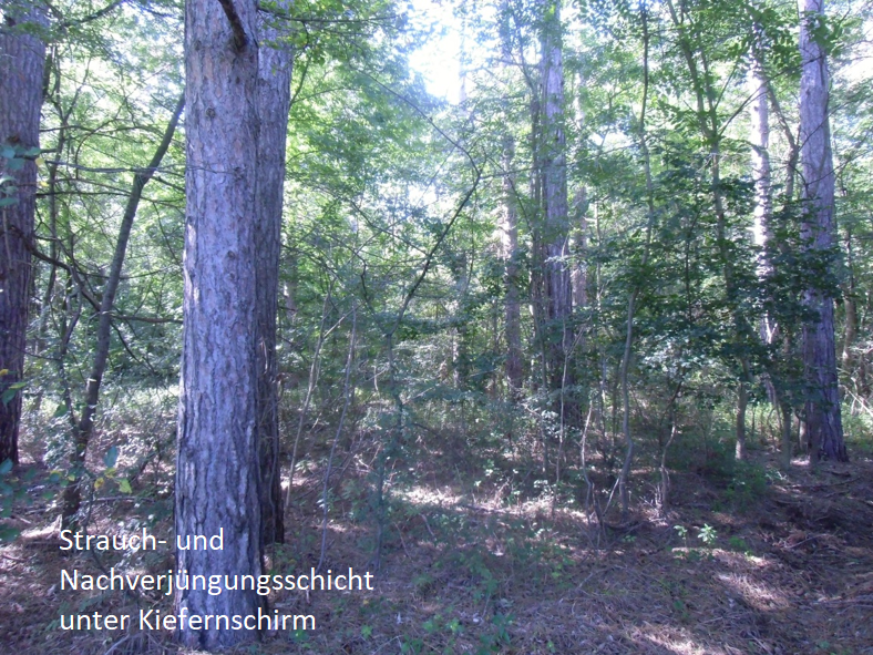


Monitoring Forester Know-How "Collection of local empirical knowledge of forest rangers"
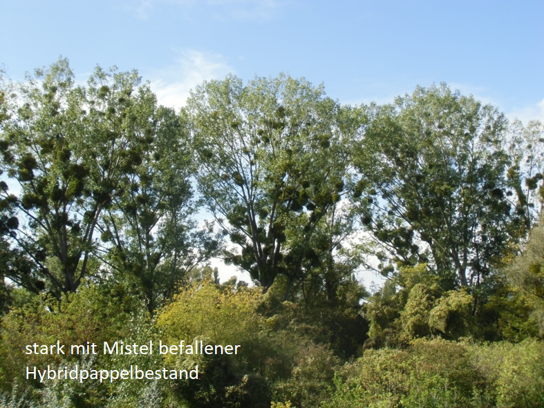
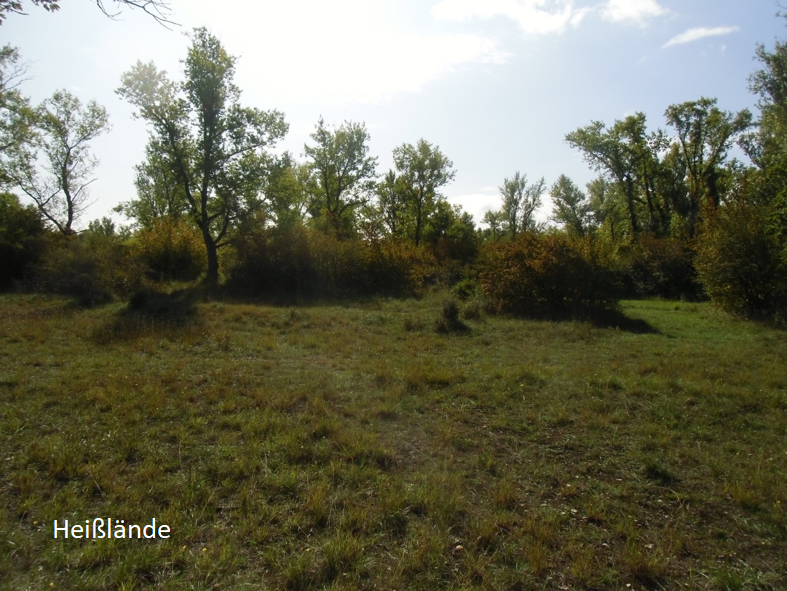
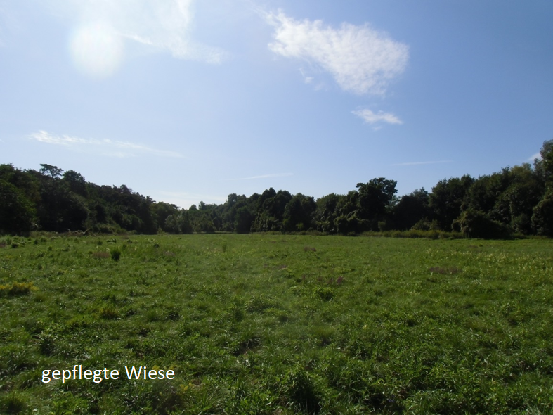
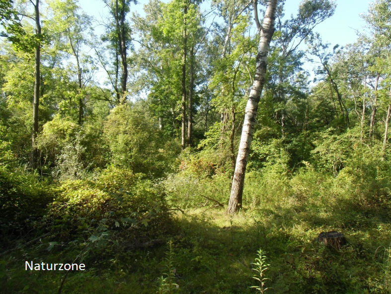
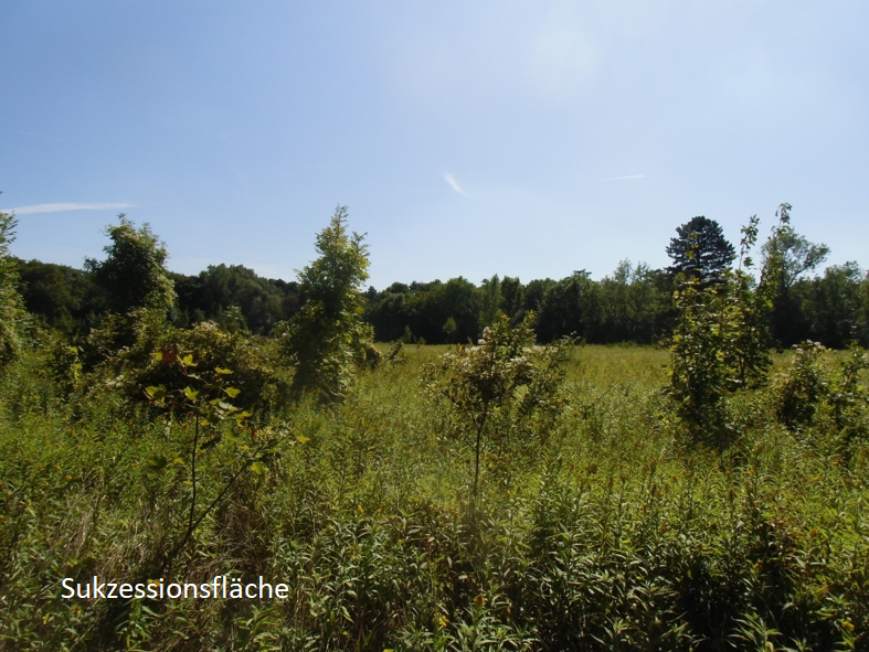
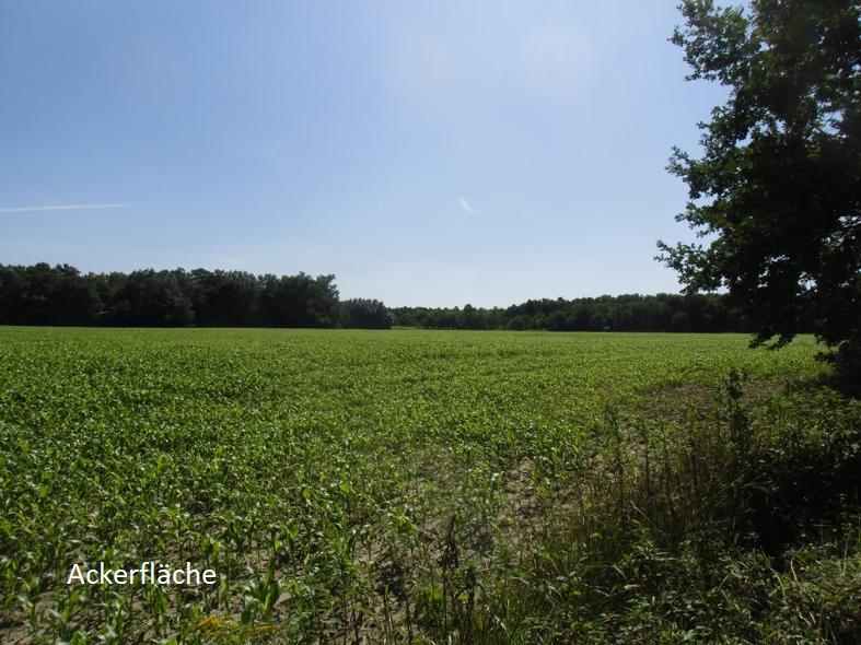
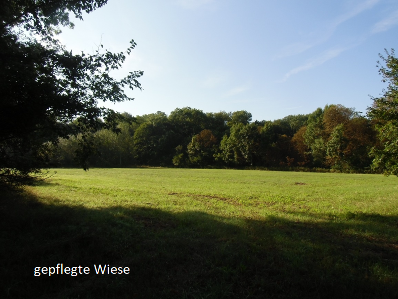
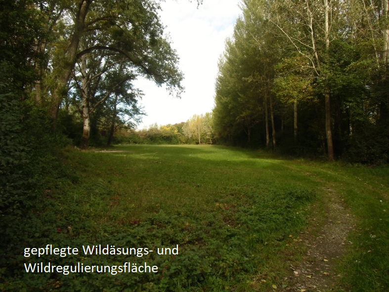
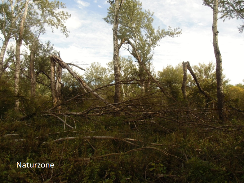
The main objective of the monitoring is to develop a proposal for future allocation of the national park areas of the districts Obere and Untere Lobau as well as Mannswörth together with the responsible district managers. The resulting thematic map is to show, on the basis of the technical and local competence of the foresters, areas where long-term management measures are ecologically necessary or, in the medium term, where a transition to natural zones (especially with regard to neophytes) is necessary. A significant increase of the nature zone without measures should be aimed for. It is important here that the decades of experience in the area and the extremely valuable knowledge about the development of forests, meadows, arable land and recreation on-site is not lost unrecorded.
First of all, an admission form and A0 working maps for the processing are created. The working maps include the deposited current zoning of Vienna and Lower Austria as well as orthophotos from 2017 for Lower Austria and from 2018 for Vienna.
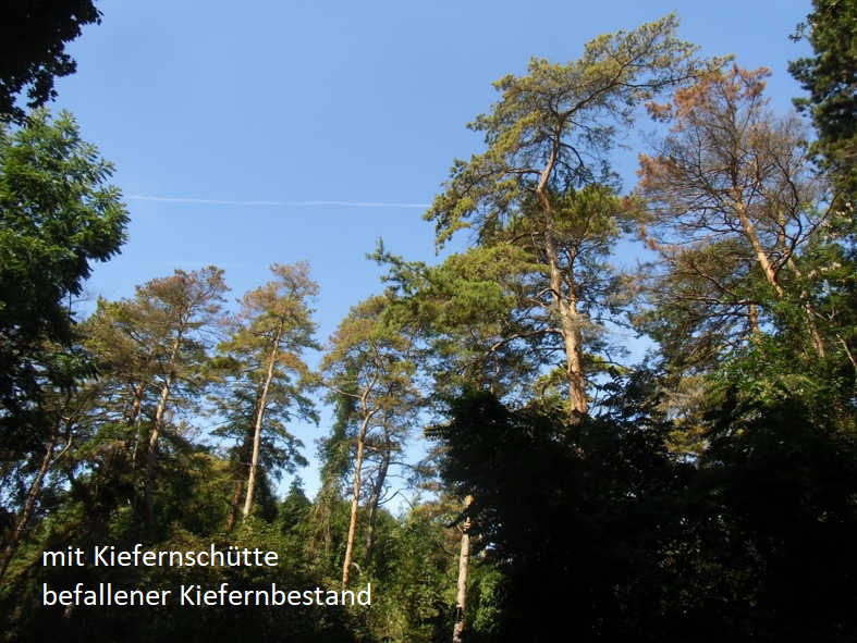
Afterwards, the appointments with the respective district managers begin, where together suggestions are drawn into the working cards and the admission forms are filled out. At this point, it is necessary to consider which national park areas are the currently managed nature zone, which should NOT or only from 2028 on be transferred to the nature zone and vice versa. In the case of proposed changes, the desired areas are marked on the map and questions such as:
- Have measures already been taken on the area? If so, which ones?
- Expected development trend of the area through measures?
- What are the arguments against the measures?
etc. are answered and special features of individual areas are listed.
At the end of the district meetings, the allocation proposals are incorporated into the GIS and the recording forms into Excel. Furthermore, photo documentation of the described areas is carried out on site. Finally, the old and new GIS data are compared.